

Geo Hazard Services
Our company provides geo hazard study services that include disaster risk mapping and disaster risk management. Using approaches from several scientific fields, we analyze potential geological hazards such as earthquakes, tsunamis, liquefaction, landslides, floods, etc.
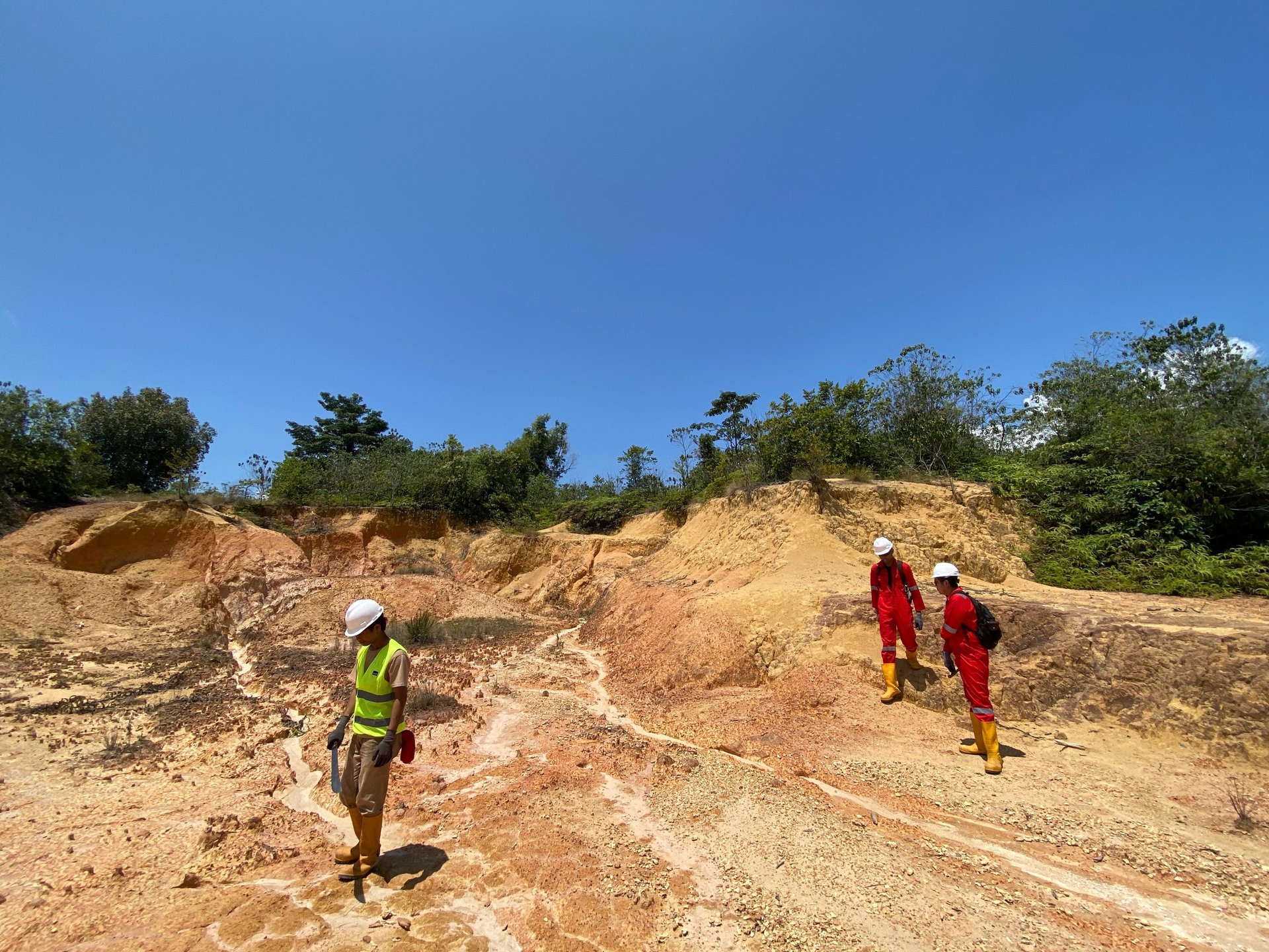
Geological Survey
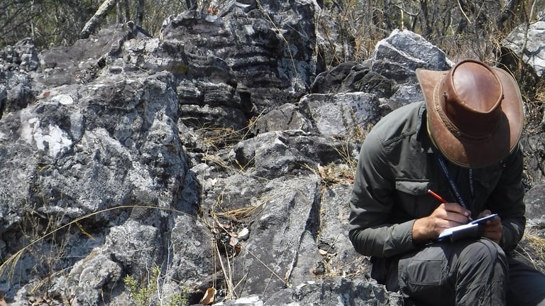
Our company provides comprehensive geological survey services. Starting from preliminary study, field mapping, to data analysis. We provide an overview of field conditions through geological maps, geomorphological maps, and structural maps.
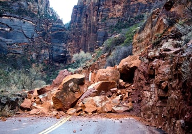
Geo-Hazard Studies
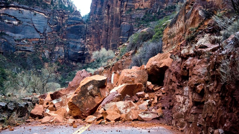
Makranusa strongly supports the sustainability aspect, Indonesia has a very high potential for geological disasters, we offer disaster risk assessment services for your project such as, Ground Movement Vulnerability, Earthquake and Tsunami Vulnerability, Seismic Risk, Active Fault, Liquefaction, Flood, and other Geological Disasters.
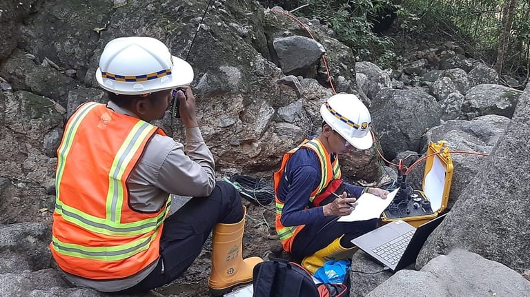
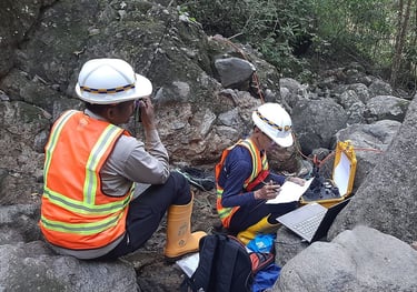
Geophysical Survey
Our company provides geophysical services for subsurface exploration and investigation. Various methods and tools are used such as geophysical methods such as seismic, geoelectric, magnetic, gravity, electromagnetic, and GPR. Makranusa is supported by professional geophysicists and can conduct geophysical surveys from planning, data acquisition, data processing, to detailed data visualization.
Our Services
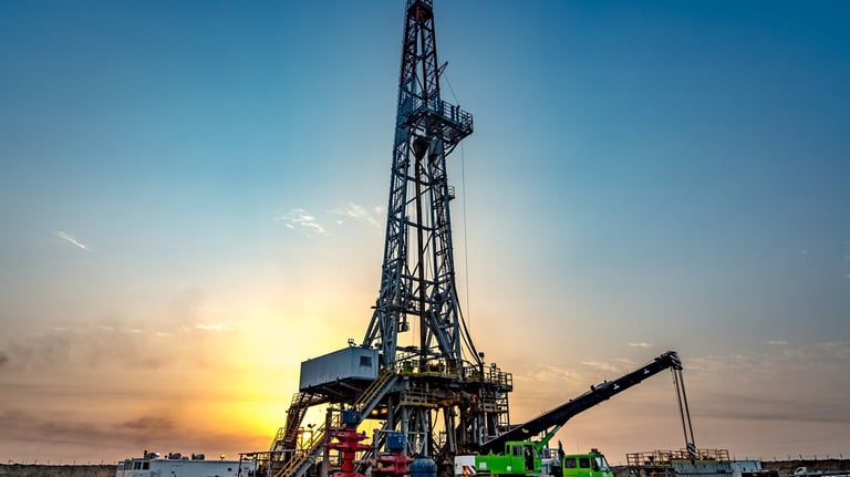
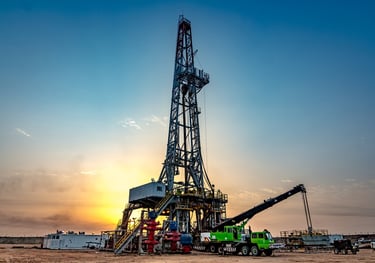
Drilling Service
We provide comprehensive consulting services in geology, geophysics and other earth sciences. Our services include geological risk analysis, feasibility studies, environmental management and data-driven solutions to help clients make informed decisions for projects in the energy, mining and infrastructure sectors.
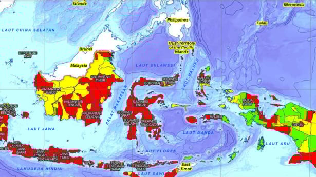
Risk Map of Disaster Prone Areas
We provide disaster risk mapping services to identify areas vulnerable to earthquakes, landslides and other geological disasters. This map is used as a basis for spatial planning, disaster mitigation, and decision-making in disaster risk reduction efforts.

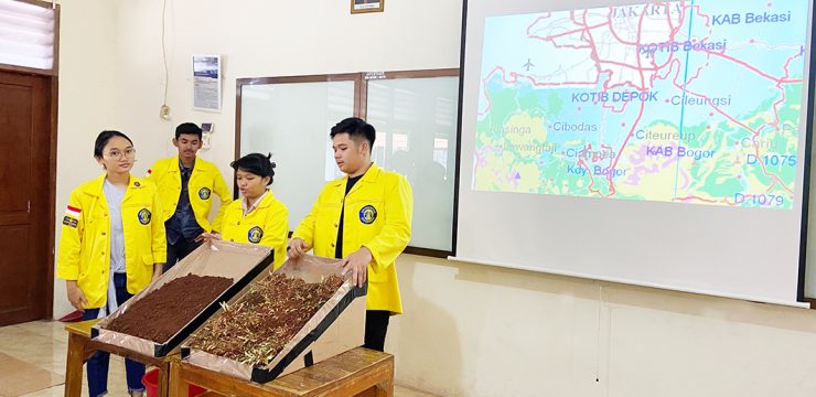
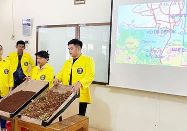
Geological Disaster Mitigation Education
We offer a geological disaster mitigation education program to improve community and stakeholder understanding of geological threats. The program includes preparedness training, evacuation simulations, and prevention and mitigation strategies to reduce the impact of disasters.
Installation of Earthquake Early Warning Devices
We provide earthquake early warning device installation services to detect seismic activity in real-time. The system is designed to provide rapid warnings to minimize the impact of earthquakes on infrastructure and public safety.


Makranusa Geo
Copywrite © 2025. Makranusa Geo. All rights reserved.
geo.consulting@makranusa.io


Jl. Prof. Dr. Mahar Mardjono. Gedung A Lt. 3, FMIPA UI, Kampus UI Depok, Beji, 16424
+62 821-7302-2490
Follow Us on Social Media:


Working Hour
Mon
Tue
Wed
Thu
Fri
Sat
Sun
08.00 - 17.00
08.00 - 17.00
08.00 - 17.00
08.00 - 17.00
08.00 - 17.00
By appointment
By appointment