


Geodetic & Geomatic Services
Our company offers geodetic and geomatics services that include topographic mapping, utilization of Drone UAV technology for aerial surveys, and analysis and processing of geospatial data using Geographic Information Systems (GIS). We also utilize Geodetic GPS and Lidar Drones, supporting data-driven decision-making.
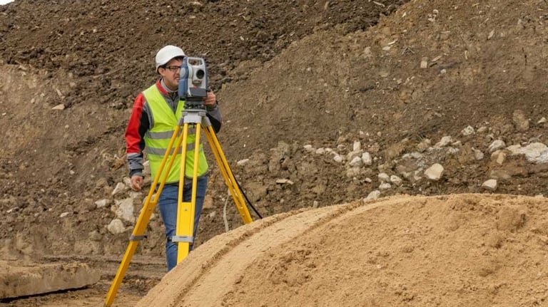
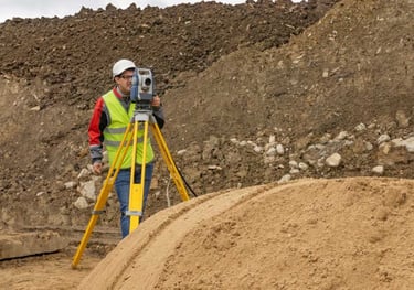
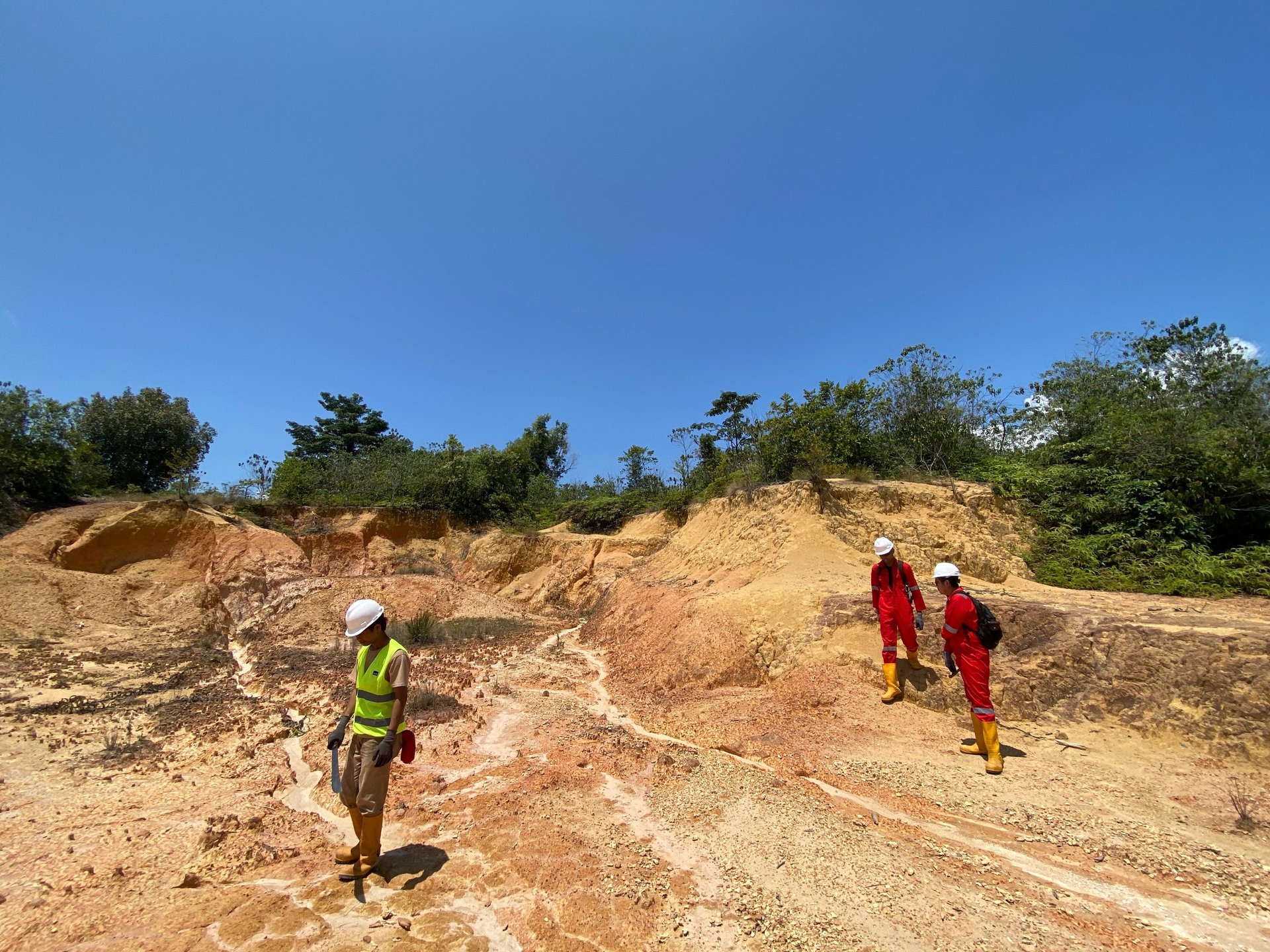
Topographic Survey
We provide topographic surveying services for detailed mapping of land surfaces, including contours, natural structures and man-made objects. Using total stations, auto levels, Geodetic GPS, as well as LiDAR and aerial photogrammetry technologies, we ensure high accuracy for various mapping and planning needs.
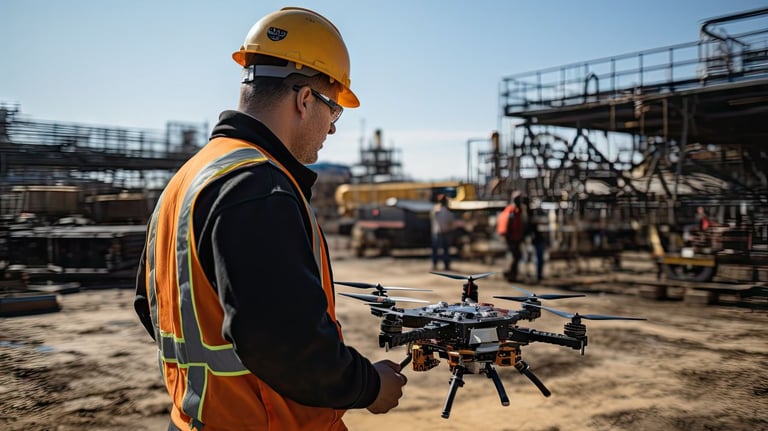
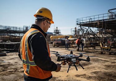
UAV Drone & LiDAR Mapping
We utilize Drone UAV and LiDAR for fast and efficient geospatial data acquisition. This technology produces point cloud data, digital elevation models (DEM/DTM), and high-resolution orthophotos that are useful for landscape analysis, spatial planning, and mapping hard-to-reach areas.
Our Services
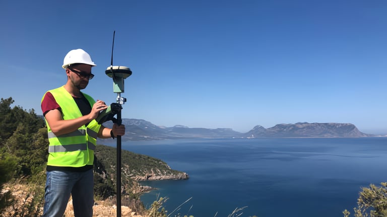
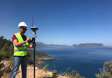
GPS/GNSS Survey
We provide GPS/GNSS surveying services for control point measurement, high-precision coordinate determination, and land and infrastructure movement monitoring. Using Geodetic GPS and GNSS RTK, this service supports construction projects, boundary mapping, and ground deformation studies.
Geospatial Data Analysis
We offer Geographic Information System (GIS)-based geospatial data processing and analysis services to support data-driven decision-making. This analysis includes 3D modeling, spatial overlay, land change analysis, and multi-source data integration to support various industry sectors.


Makranusa Geo
Copywrite © 2025. Makranusa Geo. All rights reserved.
geo.consulting@makranusa.io


Jl. Prof. Dr. Mahar Mardjono. Gedung A Lt. 3, FMIPA UI, Kampus UI Depok, Beji, 16424
+62 821-7302-2490
Follow Us on Social Media:


Working Hour
Mon
Tue
Wed
Thu
Fri
Sat
Sun
08.00 - 17.00
08.00 - 17.00
08.00 - 17.00
08.00 - 17.00
08.00 - 17.00
By appointment
By appointment