


Geophysical Services
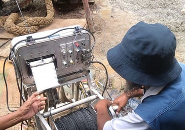
Makranusa has a team of Geophysicists who can support your projects in various industries, namely mining, infrastructure and civil, groundwater exploration, and the oil and gas industry Our company provides geophysical study services for various subsurface exploration and investigation needs. With 1D & 2D Geoelectric, Georadar (GPR), Soil Resistivity, Soil Thermal Resistivity, Seismic Refraction and Reflection, Gravity, Geomagnetic, Gravity, Microseismic/Microtremor, MASW, Downhole & Crosshole Seismic methods.
Consulting
We provide comprehensive consulting services in geology, geophysics and other earth sciences. Our services include geological risk analysis, feasibility studies, environmental management and data-driven solutions to help clients make informed decisions for projects in the energy, mining and infrastructure sectors.
Survey - Data Acquisition
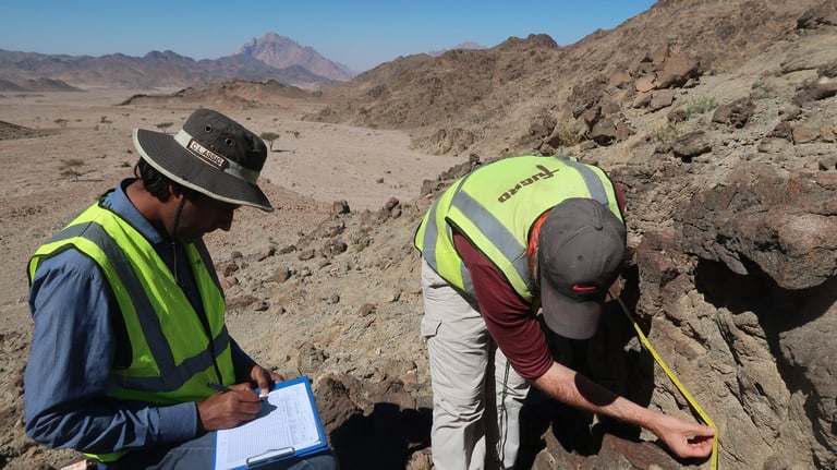
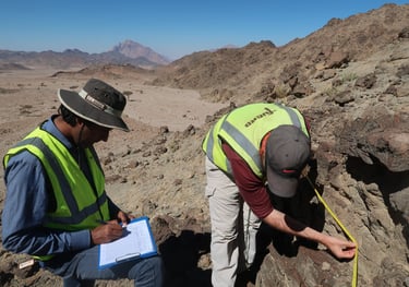
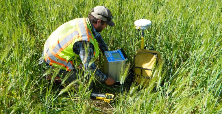
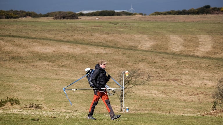
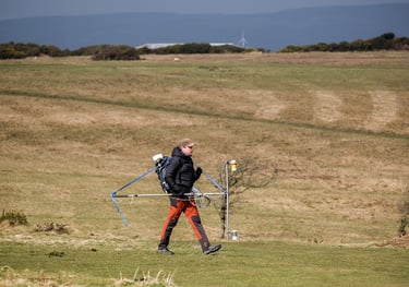
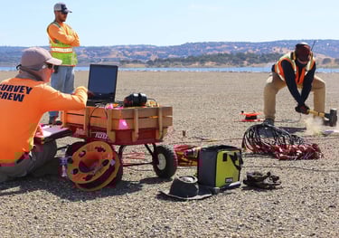
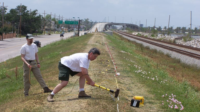
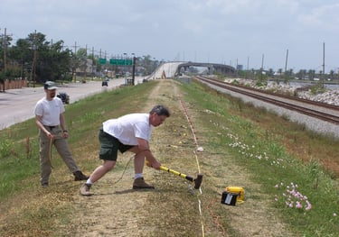
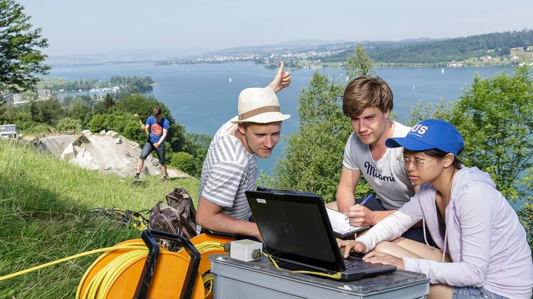
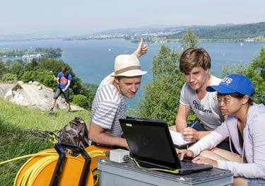
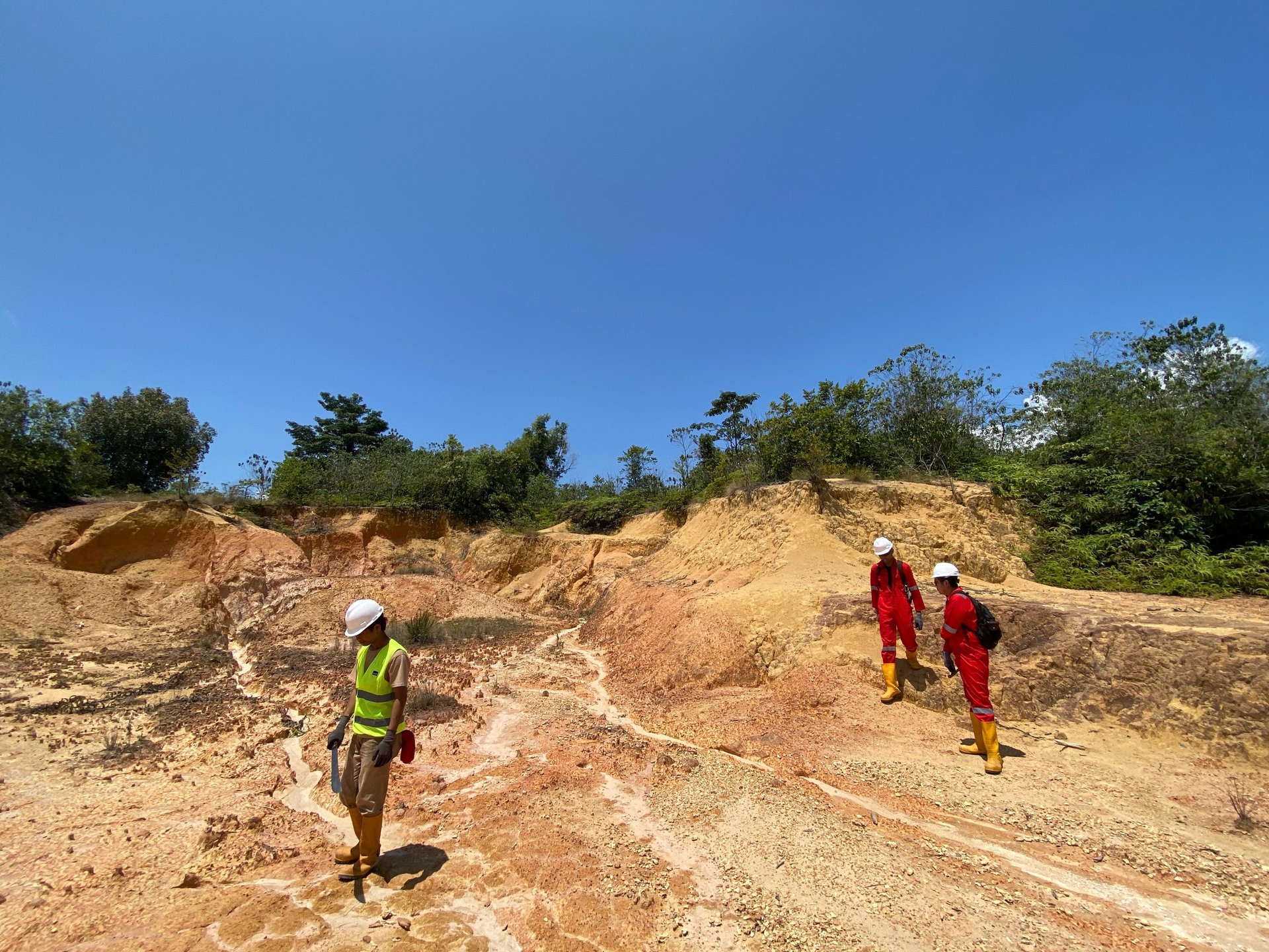
Our team has high expertise in conducting field surveys/data acquisition for various study purposes. By utilizing the latest technology, we ensure the data collected is accurate and tailored to the specific needs of each project, whether in natural resource exploration or environmental and disaster risk assessment.


Data Analysis
We provide in-depth data analysis services for geological and geophysical data processing. Through rigorous data interpretation, we help clients gain valuable insights to support exploration, geological modeling and resource management, with a strong emphasis on data quality, accuracy and relevance in the project context.
Our Services
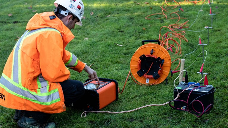
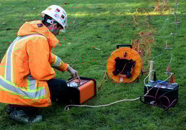
Ressistivity Survey
We provide geoelectric services to analyze subsurface characteristics based on soil and rock resistivity. This method is widely used in groundwater exploration, geological structure mapping, and geotechnical investigations. The techniques we use include Multi-Channel/2D Geoelectrical, VES/1D Geoelectrical, and Single-Channel/1D Geoelectrical.
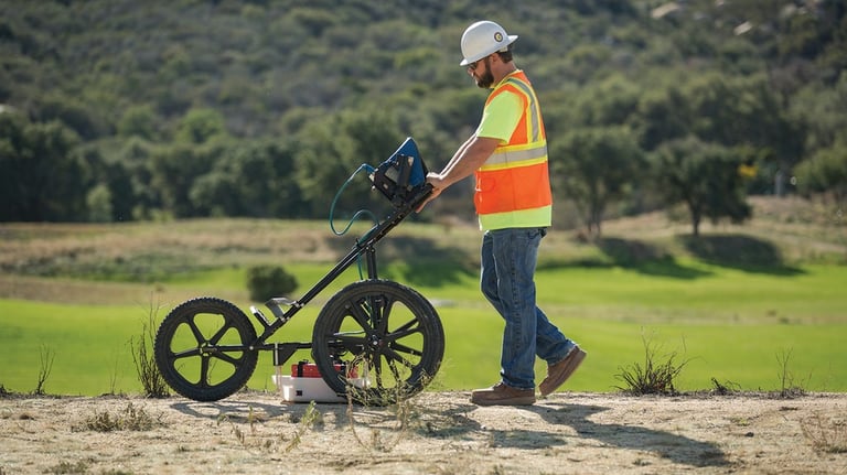
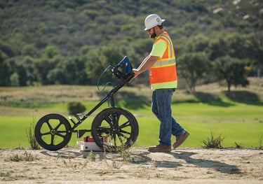
Ground Penetrating Radar (GPR)
We offer Ground Penetrating Radar (GPR) services for non-destructive subsurface mapping using electromagnetic waves. This technology is ideal for detecting underground utilities, hidden geological structures, as well as archaeological investigations with high resolution.

Soil Resistivity & Thermal Resistivity Testing
We provide soil resistivity and thermal conductivity testing for various civil and geotechnical engineering applications. Soil Resistivity Testing is used in grounding systems and cathodic protection, while Soil Thermal Resistivity is used in electrical and geothermal system planning to ensure energy efficiency in the soil.
Gravity Survey
We provide gravity survey services to detect anomalies in the Earth's gravitational field, which can reveal information about subsurface geological structures. This method is widely used in mineral exploration, natural resource prospecting, as well as geotechnical and regional geological studies. We use Gravimeter instruments to ensure high accuracy in measuring the gravitational field.
Magnetic Survey
We offer geomagnetic survey services to detect variations in the earth's magnetic field to identify geological structures and indications of anomalies. This method is widely used in natural resource exploration, tectonic mapping, and environmental research. Measurements are made using a magnetometer to ensure precise and accurate data.


Multichannel Analysis of Surface Waves (MASW)
We offer MASW services to determine the soil shear wave velocity (Vs) profile. This method plays an important role in the design of earthquake-resistant structures, soil stability analysis, and building foundation planning. With MASW, we can provide detailed information on subsurface conditions down to a certain depth.
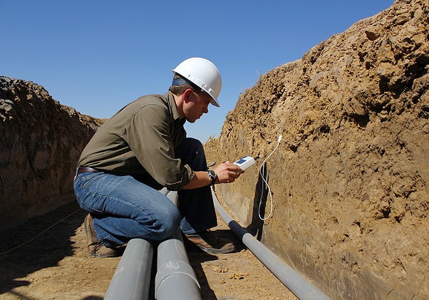
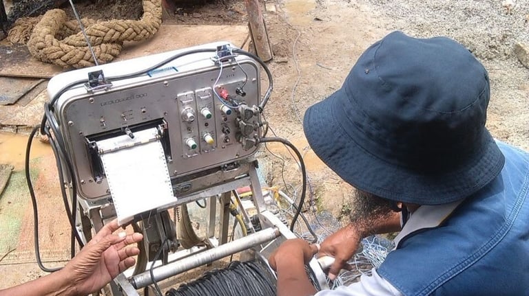
Electrical Well Logging
We provide Electrical Well Logging services to measure wellbore resistivity to determine rock formation characteristics and subsurface fluid distribution. This service plays an important role in the exploration of groundwater, geothermal, and other energy resources.
Seismic Survey
We provide seismic survey services to determine subsurface structures, identify bedrock depths, and analyze soil stability. Seismic Reflection and Seismic Refraction methods are used in geological structure mapping and liquefaction potential analysis, while Seismic Refraction is also utilized in geotechnical investigations and groundwater exploration. In addition, we provide Seismic Downhole and Seismic Crosshole services to measure vertical shear and compressive wave velocities, which are useful in evaluating soil characteristics.
Research
The Makranusa team is also developing a research team to conduct comprehensive research for the development of earth science that is expected to have an impact on the academic community, industry, government, and society.
Makranusa Geo
Copywrite © 2025. Makranusa Geo. All rights reserved.
geo.consulting@makranusa.io


Jl. Prof. Dr. Mahar Mardjono. Gedung A Lt. 3, FMIPA UI, Kampus UI Depok, Beji, 16424
+62 821-7302-2490
Follow Us on Social Media:


Working Hour
Mon
Tue
Wed
Thu
Fri
Sat
Sun
08.00 - 17.00
08.00 - 17.00
08.00 - 17.00
08.00 - 17.00
08.00 - 17.00
By appointment
By appointment