


GIS Analysis Services
We provide GIS Analysis services to meet the needs of spatial analysis and mapping, such as geospatial data processing, thematic map creation, land use analysis, natural resource management, and regional planning. With GIS technology, we deliver accurate and innovative data-driven solutions to support decision-making.
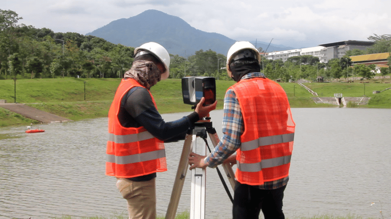
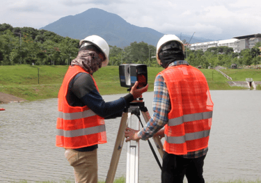
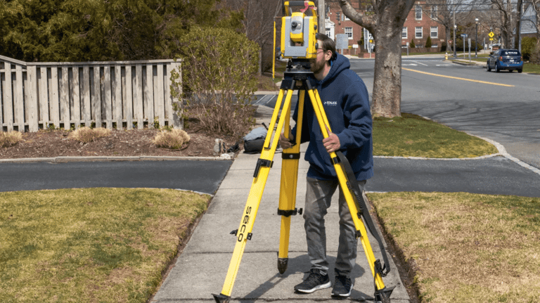
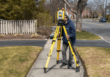
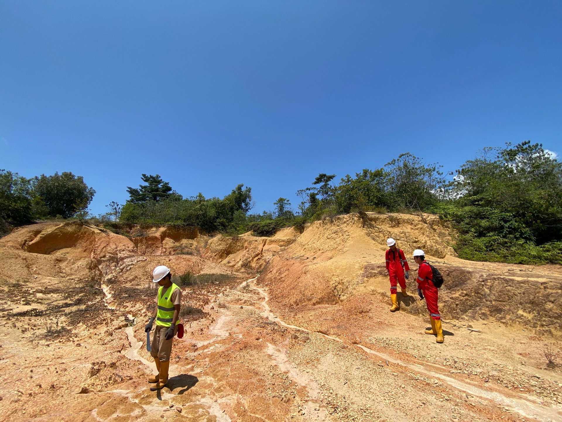
Topographic Survey
We provide topographic surveying services to map the land surface in detail, including contours, natural structures, and man-made objects. Using tools such as theodolites, auto levels, total stations, and laser scanners, we ensure accurate data for various mapping and analysis needs.
Laser Scanning Survey
Laser Scanning technology enables fast, high-precision scanning by generating point clouds that digitally represent the original shape of objects. With accurate data on x, y, and z coordinates, we help you get a detailed picture of the terrain or structure efficiently and precisely.


Geographic Information System (GIS) Survey
We offer GIS services to accurately manage and analyze spatial data. GIS enables location-based data processing, such as population density, infrastructure networks, and more. With this system, you can obtain more structured geospatial information for various mapping and analysis needs.
Our Services
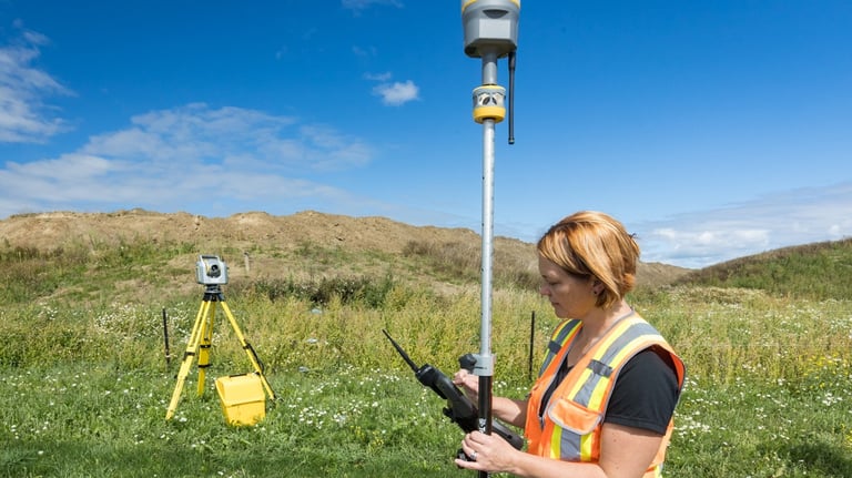
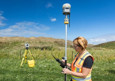
GPS/GNSS Survey
Our GPS/GNSS technology is used for high-precision mapping, including the determination of control points (Bench Mark) that play an important role in surveying and mapping. With accurate coordinates, this service supports a wide range of geospatial purposes, from construction to geological research.
Boundary Survey
We provide boundary survey services to determine and establish boundaries in accordance with applicable legal documents. By prioritizing legal aspects, we use standardized methods and equipment and ensure the reporting of results in accordance with applicable regulations.
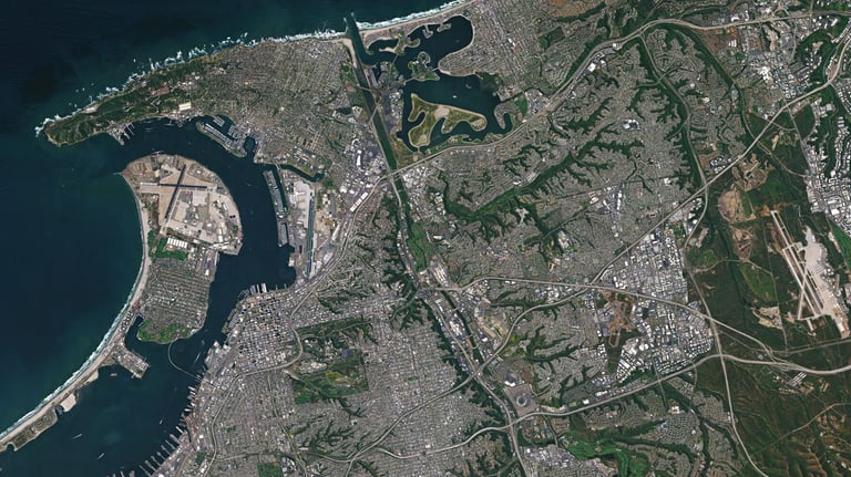
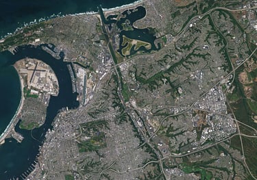
Satellite Imagery
We provide satellite imagery procurement, processing, and analysis services for various purposes. Satellite images can also be used as base maps in the development of Geographic Information Systems (GIS), assisting in regional planning, environmental monitoring, and other spatial analysis.
Route Survey
Our route surveying services are designed for path mapping in construction projects, such as roads, railways and pipelines. We provide complete information on longitudinal and transverse profiles in three-dimensional views to support more accurate planning and design.


Makranusa Geo
Copywrite © 2025. Makranusa Geo. All rights reserved.
geo.consulting@makranusa.io


Jl. Prof. Dr. Mahar Mardjono. Gedung A Lt. 3, FMIPA UI, Kampus UI Depok, Beji, 16424
+62 821-7302-2490
Follow Us on Social Media:


Working Hour
Mon
Tue
Wed
Thu
Fri
Sat
Sun
08.00 - 17.00
08.00 - 17.00
08.00 - 17.00
08.00 - 17.00
08.00 - 17.00
By appointment
By appointment