

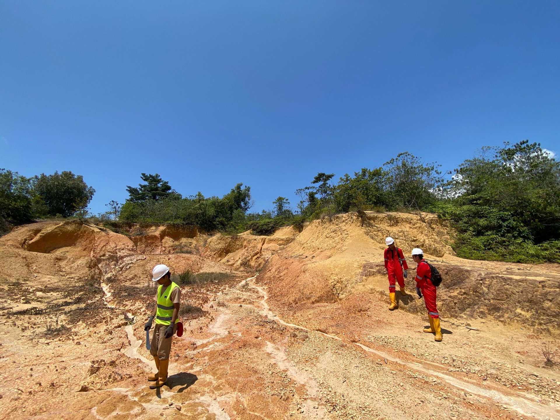
Mineral & Coal Exploration
With experienced experts in mineral and coal exploration services, we cover various technical and scientific aspects to discover and evaluate mining resource potential. We also provide drilling and laboratory services. In the mining permitting process, we assist our clients in obtaining business licenses and ensuring all operations comply with applicable regulations.
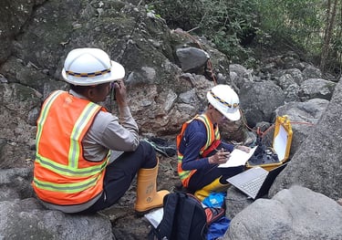
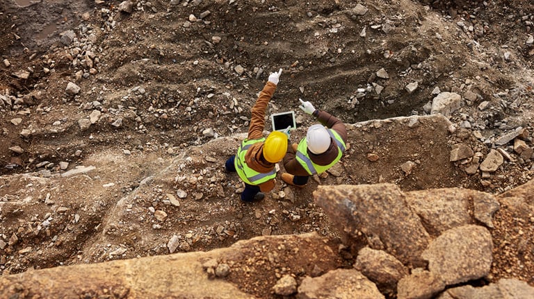
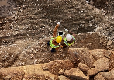
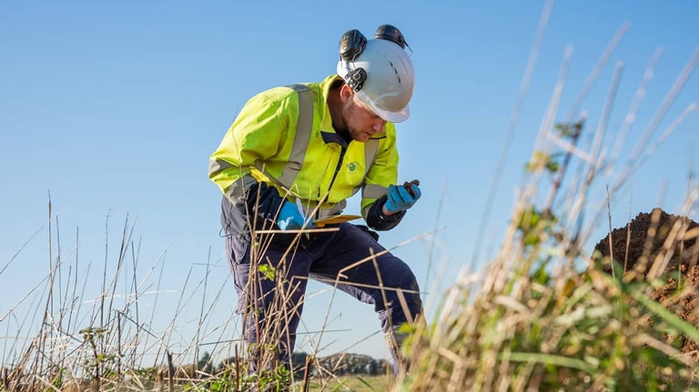
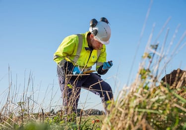
Geological Survey
Our company provides comprehensive geological survey services. Starting from preliminary study, field mapping, to data analysis. We provide an overview of field conditions through geological maps, geomorphological maps, and structural maps.
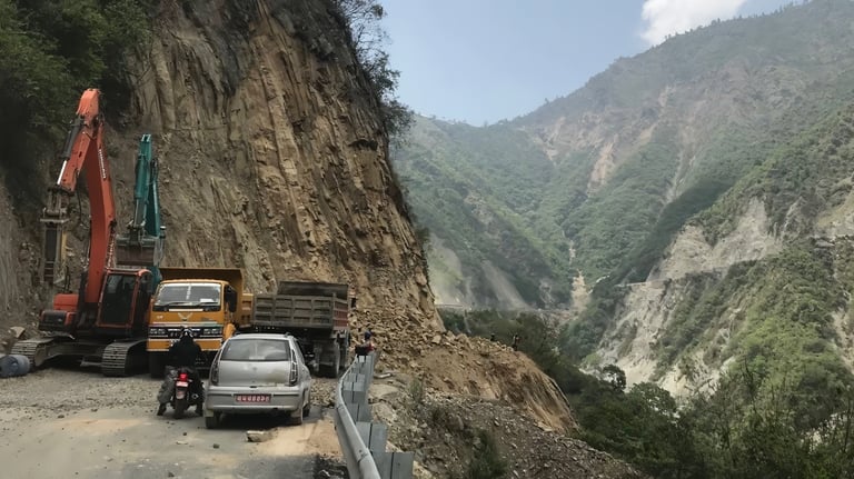
Geo-Hazard Studies
Makranusa strongly supports the sustainability aspect, Indonesia has a very high potential for geological disasters, we offer disaster risk assessment services for your project such as, Ground Movement Vulnerability, Earthquake and Tsunami Vulnerability, Seismic Risk, Active Fault, Liquefaction, Flood, and other Geological Disasters.


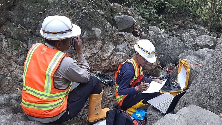
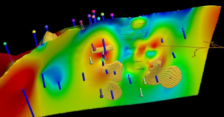
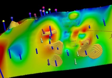
Geophysical Survey
Our company provides geophysical services for subsurface exploration and investigation. Various methods and tools are used such as geophysical methods such as seismic, geoelectric, magnetic, gravity, electromagnetic, and GPR. Makranusa is supported by professional geophysicists and can conduct geophysical surveys from planning, data acquisition, data processing, to detailed data visualization.
Our Services
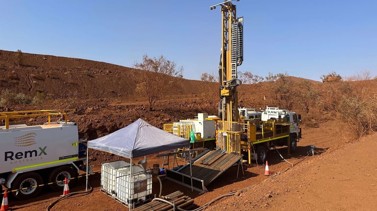
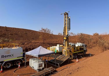
Drilling Service
Makranusa provides drilling services, sampling, QA/QC, drilling planning, supervised by a professional team referring to existing Best Practices.
Due Diligence Project
Supported by a team of experienced experts, we can provide recommendations and consultations related to the assessment of a project, we offer a comprehensive and strategic assessment in evaluating a project from technical to non-technical aspects.

Resource & Reserve Estimation, and Feasibility Study
We have certified experts in modeling and estimating mineral and coal resources and reserves that refer to SNI, KCMI, and JORC standards. The process starts from QA/QC and Data Validation, to the classification of resources and reserves so as to produce data that can be used as a reference in decision making
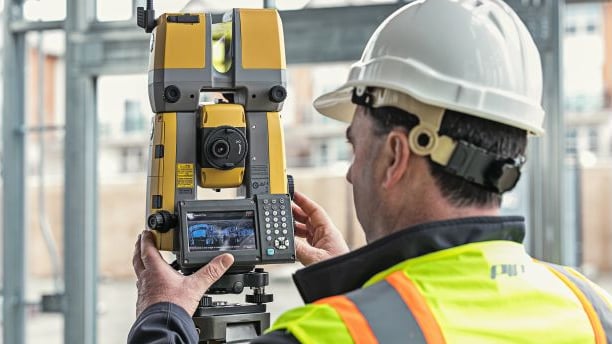
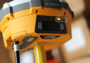
Geomatic & Geodetic Survey
Makranusa can offer geodetic and geomatic services that include topographic mapping, stakeout surveys, stockpile calculations. We use Drone technology for aerial surveys, and geospatial data analysis and processing using Geographic Information Systems (GIS). We also use Geodetic GPS and Lidar Drones, supporting data-driven decision making.
Geotechnical Studies
Our company provides geotechnical study services, which include engineering geological mapping to identify soil and rock characteristics in the field, geotechnical drilling, in situ testing (CPT, SPT, etc.), slope stability analysis to evaluate landslide risk, as well as supporting laboratory services with detailed analysis of physical and mechanical properties of soil and rock.


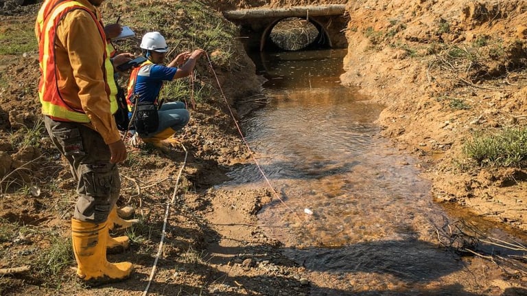
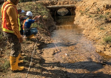
Hidrology and Hydrogeology
Our company provides hydrology and hydrogeology services. Both are important as they relate to water resources management, environmental impact mitigation, and control of surface and underground water in mining areas. These range from mine flood & drainage analysis, rainfall & river flow pattern studies, groundwater level monitoring (MAT) & subsurface water flow, groundwater basin modeling, dewatering system design, and aquifer mapping.
Assistance Consultant
Our company offers assistance services in order to assist the company's process in the mining industry, both technical assistance and licensing. Makranusa is also supported by competent and certified experts, such as Competent Person.
GIS & Spatial Analysis
We provide GIS Analysis services to meet the needs of spatial analysis and mapping, such as geospatial data processing, thematic map creation, land use analysis, natural resource management, and regional planning. With GIS technology, we deliver accurate and innovative data-driven solutions to support decision-making.


Environment
We provide data-driven solutions for sustainable environmental management, including soil, water and air quality analysis, EIA, land rehabilitation and geological disaster mitigation. We also help clients meet environmental regulations, minimize ecological risks, and create added value in natural resource management.
Makranusa Geo
Copywrite © 2025. Makranusa Geo. All rights reserved.
geo.consulting@makranusa.io

Jl. Prof. Dr. Mahar Mardjono. Gedung A Lt. 3, FMIPA UI, Kampus UI Depok, Beji, 16424
+62 821-7302-2490
Follow Us on Social Media:


Working Hour
Mon
Tue
Wed
Thu
Fri
Sat
Sun
08.00 - 17.00
08.00 - 17.00
08.00 - 17.00
08.00 - 17.00
08.00 - 17.00
By appointment
By appointment